How to Ride the Trailhead Direct Bus to Seattle Area Trails
Last Updated on May 14, 2025
You want to go for a hike, but you don’t have a car. Or you drove in Seattle’s epically bad traffic all week and can hardly bear the idea of getting in the car again on the weekend. Guess what? You no longer need a car to hike from Seattle. You can ride the trailhead direct bus instead!
In 2018 King Country Metro piloted a trailhead bus, from the Park and Ride in Issaquah and Bellevue to trailheads in the Issaquah Alps. In 2019 the Trailhead Direct bus (weekends only) was expanded to include service in Seattle! This is a fantastic way to get to some lovely hikes without a car. After a break during the pandemic in 2020, and more limited service the last couple years, the Trailhead direct bus is operating again Saturdays and Sundays (plus Memorial Day, Independence Day and Labor Day) from May 25-September 15, 2024. This year it will be going to Mt Si and the Issaquah Trails.
Currently there are two different Trailhead Direct bus routes, one from Mt Baker Transit Center to several trailheads in the Issaquah Alps, and one from Capitol Hill to Mt Si.
Listen to Ryan Miller from King Country Metro talk share all about Trailhead Direct
Hikes you can get to from the Capitol Hill Trailhead Direct Bus
The Capitol Hill bus starts at the Capitol Hill Light Rail Station (bus stop across the street) and also stops in downtown Seattle near the University Street Light Rail Station and the North Bend Park and Ride.
This bus stops for the following hikes:
- Little Si – 4 miles round trip, 1300 feet of elevation gain
- Mt Si – 8 miles round trip, 3200 feet of elevation gain
- Talus Loop – This is a great alternative from the Mt Si Trailhead and much less crowded – 4 miles round trip, 1500 feet of elevation gain
- Teneriffe Falls – a gorgeous waterfall hike with wildflowers, much less crowded than Mt Si or Little Si, also connects to the Mt Si trail system – 6 miles round trip with 1500 feet of elevation gain to the waterfall

Hikes you can get to from the Mt Baker Trailhead Direct Bus
The Mt Baker bus starts at the Mt Baker Transit Center, across Rainier Avenue from the Mt Baker Light Rail station. It also stops at the Issaquah Park and Ride and then several Issaquah trails.
This bus stops at the following hikes:
- Poo Poo Point – there are two trailheads, if you start at the Chirico Trailhead, it’s 5.5 miles round trip with 1700 feet of elevation gain and from the High School Trailhead, it’s 7.5 miles round trip with about the same elevation gain. The bus stops at both trailheads, so you could even do a through hike starting at one trailhead and finishing at the other!
- Squak Mountain – there are several great trails here including the lovely and less crowded May Valley Loop, a 6 mile loop with about 1000 feet of elevation gain. There are many other loops and trips you can do from this trailhead!
- Margaret’s Way – 7 miles round trip with 1500 feet of elevation gain
- East Sunset Way Trailhead
My review of the Issaquah Alps route
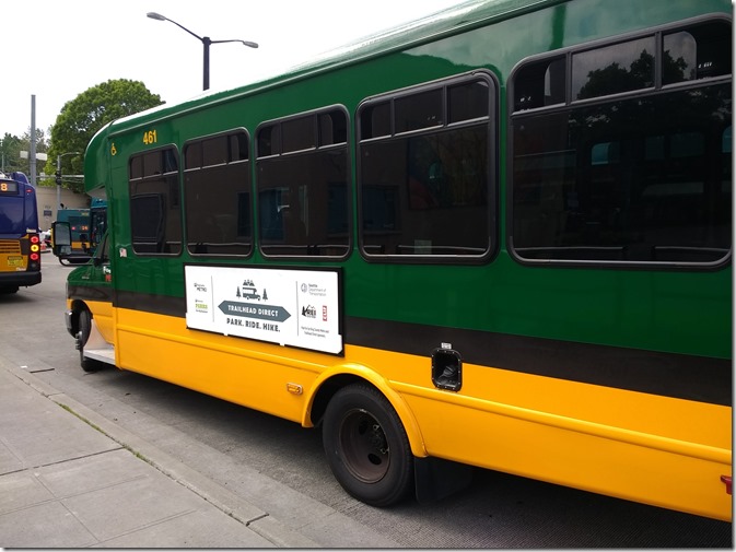
I tested the Mt Baker one (which is two light rail stops away from where I live) and climbed aboard the small bus (18 seats). There are no specific luggage racks, but there was plenty of room for backpacks and hiking gear. If you take the light rail there, note that the transit center is across the street from the light rail station (go down to the street level from the platform, then cross Rainier Avenue and you’ll see the buses in the transit center). You can use your ORCA card (fare is $2.50 each way, and you can transfer if you took the bus or light rail there).
If you’re a visitor, make sure to have exact change otherwise it might be an expensive bus ride (drivers do not have access to change). The ride is a loop so you’ll spend about an hour and a half on the bus total regardless of where you hike (you’ll get back on where you got off and complete the loop).
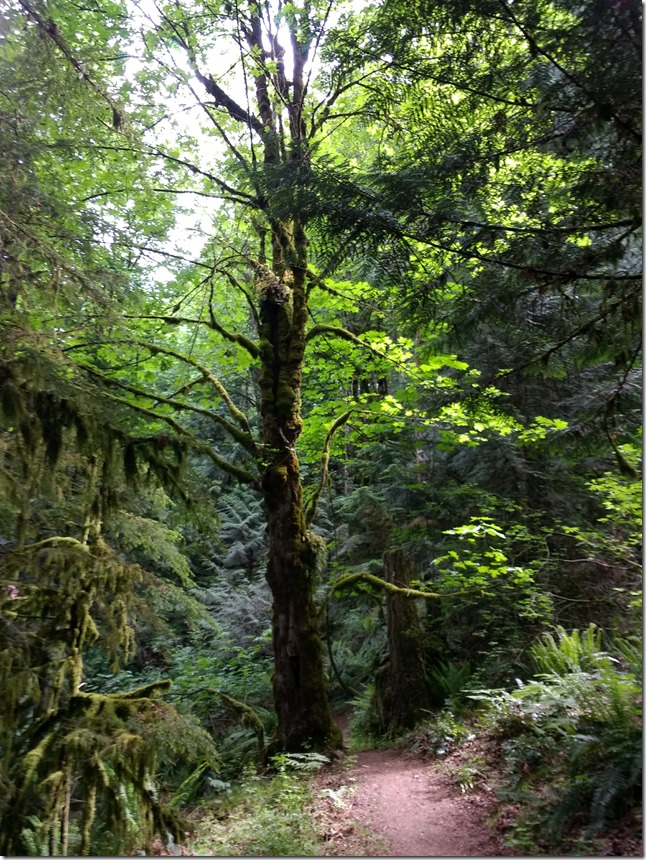
Once aboard, the bus stops at Eastgate Park and Ride in Bellevue, then the Issaquah Transit Center (these two stops are the only ones with parking), then makes a loop of several trails in the Issaquah Alps. I choose the Margaret’s Way Trail because it’s one of the least crowded trails close to Seattle. Margaret’s Way is a lovely hike through the forest with even a few old growth cedar trees towards the beginning. There’s a nice view at the end of Mt Rainier (if you continue about .25 miles beyond the end of the trail along another well signed trail marked “Debbie’s view”).
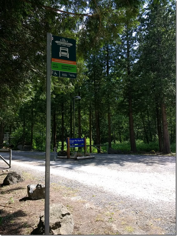
The trail is in excellent condition and is very well signed, although the trail is about two miles longer round trip than the map and hiking guides indicate (7.5 miles total instead of 5.5). I noticed that at the end of the trail another hiker had noted the same on the trail sign, so it wasn’t just my GPS! Margaret’s Way is part of the Cougar-Squak-Tiger Mountain Corridor of King County Parks, and you might want to print this map of the trail system before you leave home in case they are out of them at the trailhead.
After a peaceful, green hike with tons of birds singing, I returned to the trailhead with enough time to use the outhouse, stretch and get some snacks and water before the bus arrived. The bus runs every 30 minutes from approximately 8am – 6pm so if you just missed one you could wait up to that long.
Overall, I highly recommend this bus service, particularly if you don’t have a car, or share a car in your family as I do. Thank you, Metro for expanding car free hiking options in the Seattle area!


