May Valley Loop Hike Close to Seattle
Last Updated on April 28, 2025

The May Valley Loop Hike is a delightful 6 mile loop through the forest with just under 1000 feet of elevation gain on a very lightly traveled trail! The first couple of miles are fairly busy (lots of folks going up to Central Peak) but after that it seems there is nearly no one taking advantage of this trail that is very close to Seattle and one of the best hikes in Issaquah (a half hour drive from my house in South Seattle). It can be slightly confusing to follow the loop so I’ll describe it below. There are a couple of places you can cut the loop shorter, so bring a map and you can even make up your own route.
The May Valley Loop is located on the homeland of the Snoqualmie and Duwamish people.
Parking Pass: Yes, Discover Pass
Dog Friendly: Yes, on leash
Cell phone coverage: Good with a few dead spots
Restrooms: Pit toilets
Accessibility and Mobility: This trail has some roots, but for the most part it does not have too many rocks or steps. You can take the bus to the trailhead.
Related: What to wear for a hike in the Pacific Northwest, what to bring on a hike in the Pacific Northwest
Is the May Valley Loop Hike right for me?
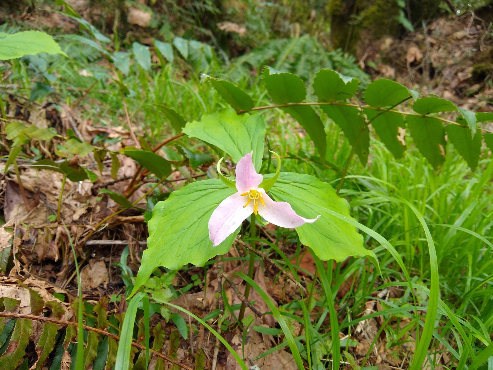
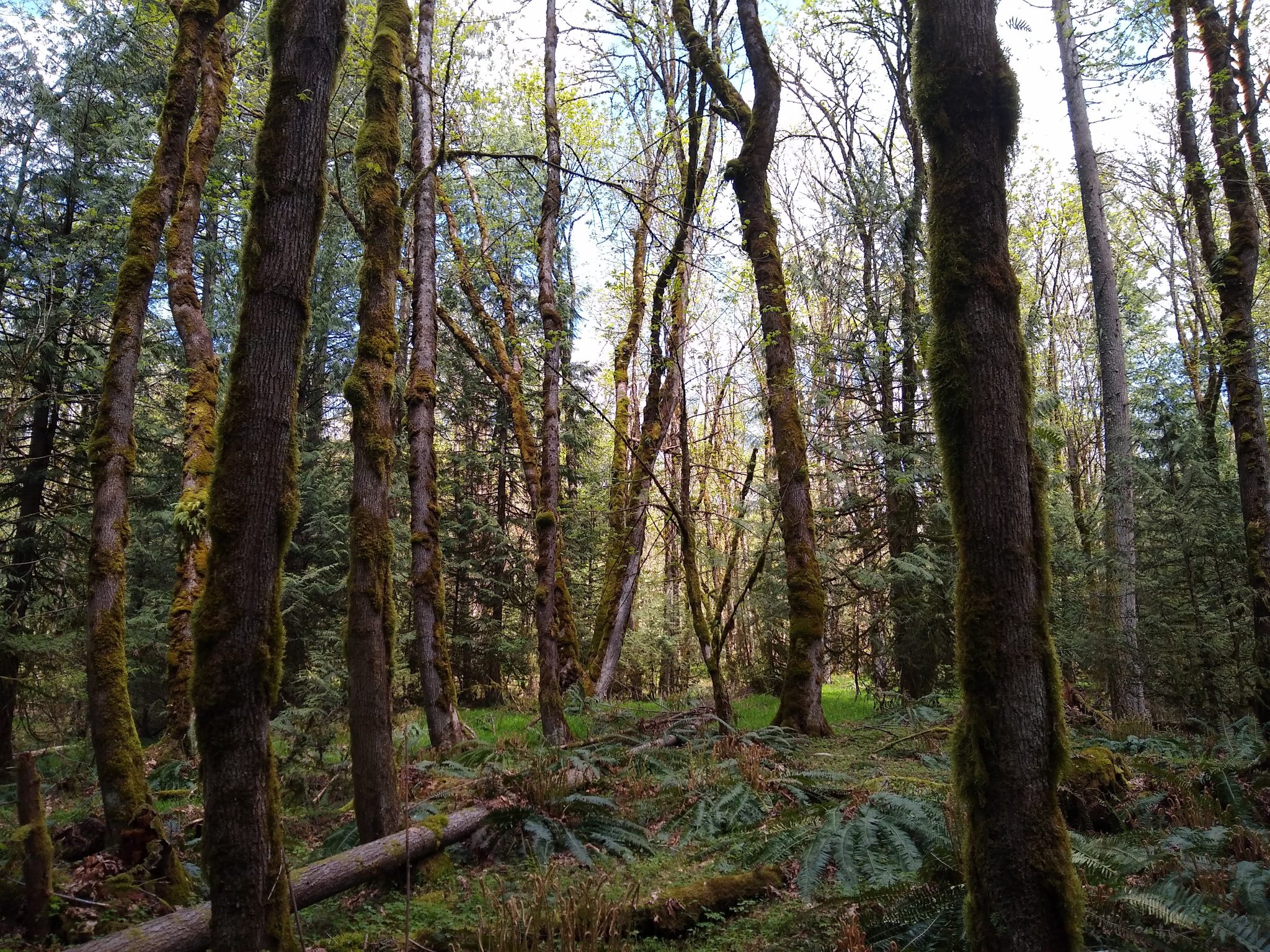
If you’re in the mood for some forest solitude on a loop with a short drive, this trail is for you! This loop is about six miles long with about 1000 feet of elevation gain, so you’ll get a good workout but it’s not terribly steep. There were a few muddy sections, but not too much mud. The trail is in excellent shape and in the spring it has beautiful trillium flowers blooming for the first and last mile.
When is a good time for the May Valley Loop hike?
This is a trail that can be enjoyed all year, as normally it’s snow free most of the time. It would be an enjoyable rainy day hike since it’s through the forest without big views. In spring the trillium are blooming and in summer you’d have fewer crowds than many other hikes and the shade of trees. I haven’t done it in the summer but I imagine there could be some bugs, especially near the creek.
Where is it?
The trailhead is in Squak Mountain State Park (note you will need a Discover Pass to park here). Squak Mountain is between Cougar Mountain (Bellevue) and Tiger Mountain (Issaquah). To get there, you can approach from Issaquah and through town on Issaquah Hobart Road, or from the Renton Highlands on May Valley Road. There is cell service the whole way and google maps will take you straight to the parking lot if you tell it to take you to the May Valley Loop Trailhead.

Trail Description
You’ll start the loop on the May Valley Trail which heads up towards Central Peak. This first part will be the most crowded part of you hike, with lots of hikers going up to Central peak. After the first couple of miles, you’ll see a sign that says “May Valley Loop” behind you (the way you came from) and a sign pointing ahead saying “Bullit Creek Trail” and “Central Peak”. Straight ahead there is also a barricade to stop horses from continuing further up. There is a trail to the right that is not marked. This is the trail you want for the loop! Here you will leave the crowds behind and be pretty much on your own in the forest.
In a short time, you’ll reach the access road, go to the right down the road a couple of turns and then there will be a sign on the left saying “May Valley Loop”. Follow this trail. Shortly you will reach another confusing intersection. There’s a sign that says “May Valley Loop” pointing to the right, but the trail is blocked by logs and also overgrown and hard to see. Go LEFT here. The trail seems to just go back up towards Central Peak. However, if you stick with it, you’ll see another unmarked trail on the right. Take it.
Once you take that trail, there are no more confusing intersections and the trail meanders down the hill, crossing the creek again and then meeting up with the original trail you started on about half a mile from the parking lot.
Overall, this is a great close to town hike I’ll be adding to my regular line up! If you’re looking for other hikes in the area, check out my post about Margaret’s Way that is one of the hikes you can take public transit to, as well as Poo Poo Point (a more strenuous hike with a view in the same area). The East Ridge Trail which starts in downtown Issaquah is an even more lightly traveled trail that connects up with the May Valley Loop near the top of Squak Mountain.
Fuel up after the May Valley Loop
Try Chuck’s Donuts in the Renton Highlands or Bickerson’s Brewhouse (beer only but you can bring your own food), local favorites!
Electric Vehicle Charging
The May Valley Loop should be well within the range of your electric car. If you need a charge, you can get one in Bellevue or Renton.


