Talus Loop hike: something different on Mt Si
Last Updated on December 9, 2024

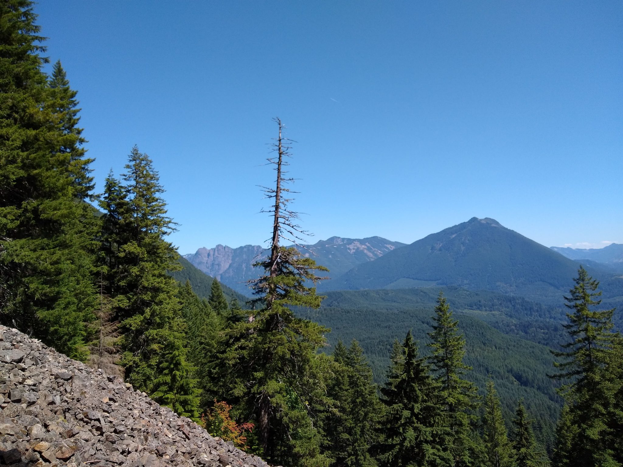
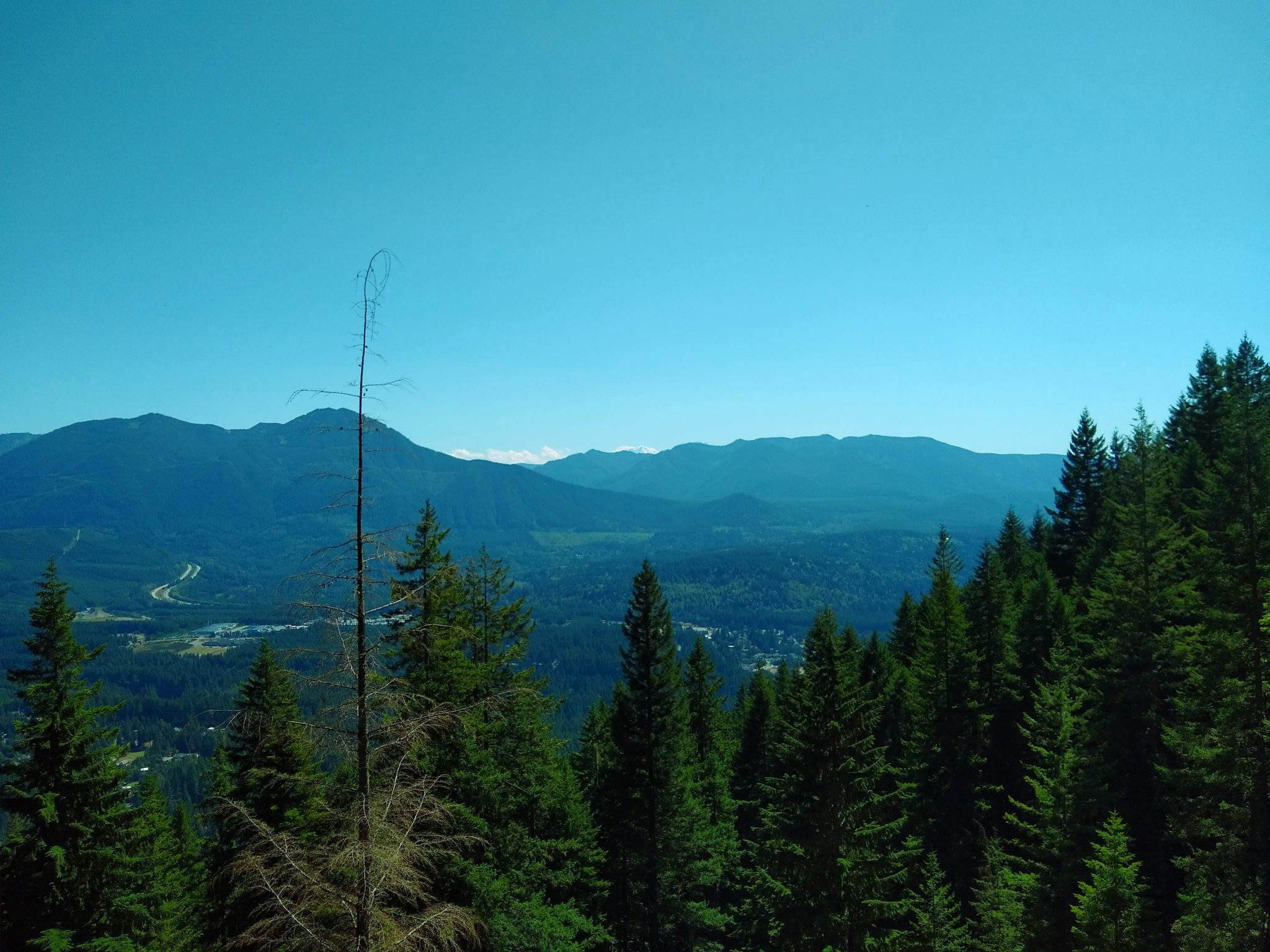
I’ve written before about reasons NOT to hike the Mt Si trail, but recently I set out to explore a few of the other trails from that same trailhead, now that the trailhead direct bus service serves it. The Talus loop hike is a terrific alternative to Mt Si, especially if you want to do a hike that you can take the bus to! At about 4 miles and 1500 feet of elevation gain, the talus loop hike is a lot easier than Mt Si and it has a view along the way. Mt Si of course has a great view, but there aren’t views until you get near the top, whereas this hike has a great view in the middle of the loop of the North Bend area.
The Talus Loop is the land of the Snoqualmie people.
Parking Pass: Discover Pass
Dog Friendly: yes, on leash
Cell phone coverage: Good
Restrooms: There are two pit toilets in the parking lot at the trailhead.
Accessibility and Mobility: This trail has some rocky sections and a talus loop. It is well maintained with some rocks and roots here and there.
Related: What to wear for a hike in the Pacific Northwest, what to bring on a hike in the Pacific Northwest
Is the Talus Loop Hike right for me?
Even though the talus loop trail gets very little traffic, for the first mile it shares the route with the Mt Si trail which is VERY crowded. The parking lot is also generally full on weekends so it makes it an odd combination of a trail you can find solitude on but difficult parking! If you take the bus there, then you can avoid the parking hassle. It’s a moderate hike on a (mostly) peaceful trail through a typically beautiful forest with some nice views.
When is a good time for the Talus Loop hike?
The talus loop hike is snow free most years, so it’s a good year round option. Most of the route is shaded, so it’s nice on a hot day (or a rainy day!). This is generally a good hike for most days (being mindful of the weekend parking situation).
Where is it?
The trailhead is shared with the extremely popular Mt Si trailhead in North Bend. You can put “Mt Si Trailhead” in google maps and it will take you right there. It will take about 45 minutes from Seattle (unless you get caught in a traffic jam). From exit 32, go left off the freeway, left on North Bend Way and right on Mt Si Road, which will take you to the trailhead. It’s well signed.
Trail Description
Starting off, you’ll be on the Mt Si trail. You can do the loop in either direction, but here I’ll describe it going clockwise. In a short distance, you’ll see a sign for the Talus loop (this is the way you’ll return if you go clockwise), keep going straight and just under a mile from the trailhead you’ll see a second sign for the Talus Loop trail. This is where you’ll go, but before you do, head a very short distance into Snag Flats, which has some gorgeous old growth trees.

After exploring the big trees, head back to the trail and go left (right when you’re facing the sign heading up). You’ll go through the forest before coming out into the open talus (rock) field with views around the North Bend area. You can even see the very top of Mt Rainier behind the closer hills.

Continuing on the trail, you’ll eventually wind back towards the Mt Si trail, reaching on junction with the Mt Teneriffe trail (go right, there’s a clear sign). Continue on back to the Mt Si trail and head to the right for a short distance back to the trailhead.
Related: Hiking the Boulder Garden Loop on Mt Si
Breweries and Bakeries near the Talus Loop
Try the North Bend Bar and Grill if you’d like to get a hot meal and drink after your hike. I also recommend Pioneer Coffee in North Bend and Volition Brewing.
Electric Vehicle Charging
There is fast charging available at the North Bend Outlet Mall (walk to Pioneer Coffee!).


