How to hike the Colchuck Lake Trail
Last Updated on December 9, 2024
Colchuck Lake is one of the most stunning alpine lakes in Washington State. The lake itself is impossibly turquoise blue, with smoothed granite rocks, forest, high jagged peaks and glaciers surrounding it. At 8.5 miles round trip with 2300 feet of elevation gain, this hike is challenging but the payoff when you get to the lake is truly spectacular. Come in August for a chilly yet incredibly scenic swim, or in October for the bright golden larch trees and fresh snow on the surrounding mountains.
Colchuck Lake is the homeland of the Wenatchi people.
Parking Pass: Northwest Forest Pass (Enchantments Colchuck Lake permit required for an overnight stay). You can buy a day pass at the trailhead for $5.
Dog Friendly: No. Dogs are not allowed on any of the trails in the Enchantments permit area.
Cell phone coverage: None. There is no coverage on the last few miles of the road to the trailhead either.
Restrooms: There is a pit toilet in the parking lot at the trailhead. There are also a couple of outhouses (one near the junction of the Lake Stuart and Colchuck Lake trails and at Colchuck Lake). Wooden signs point you to the outhouses.
Accessibility and Mobility: This is a challenging hike, with most of the way involving rock steps and rocky, uneven terrain with many tree roots. In addition, some parts of this hike are extremely steep. The final four miles of the road to the trailhead are very bumpy with lots of potholes. You can make it in any car, but it’s slow.
Related: What to wear for a hike in the Pacific Northwest, What to bring for a hike in the Pacific Northwest
How hard is the Colchuck Lake hike?
It’s hard. I think it’s important to include that this hike is harder than it looks from its statistics alone. The first mile and a half doesn’t have much elevation gain, which makes the last three miles to the lake very steep in places, especially the last mile.
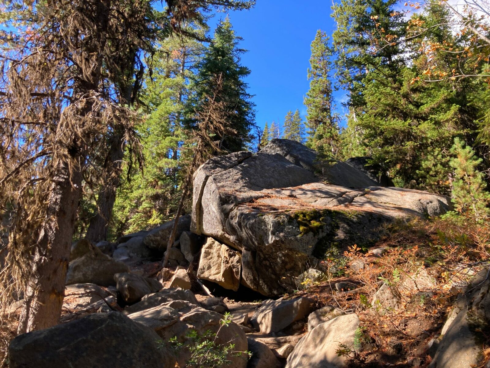
In addition, much of the elevation is gained by stepping up rocks and boulders, which at least for me feels harder than gaining the same elevation on a smooth dirt trail. Rocks and boulders can become very slippery when it’s wet or icy.
I highly recommend trekking poles for this hike, to give you some extra stability and support your joints on the uneven terrain.
If you’re looking for a mellower hike to a similar destination in the same area, I highly recommend Lake Stuart!
When is the best time to hike to Colchuck Lake?
Colchuck Lake often has some lingering snow into mid July, so for a snow free experience I recommend waiting until late July. The lake remains VERY cold all summer, but cold water lovers can enjoy a swim here.
I recommend saving this hike for a sunny fall day (late September through mid October) when it’s less hot, the bugs are gone and the larch trees turn their spectacular golden color.
Colchuck Lake is extremely busy on weekends all summer and fall. The parking lot is frequently filled at 5am or earlier. If at all possible, do this hike on a weekday. If that’s not an option, arrive extremely early or later in the day, or be ready to add a couple miles to your overall hike by parking a ways down the road. If you have an overnight camping permit for anywhere in the Enchantments, there is reserved parking for permit holders in the parking lot. Do not park there if you are doing a day hike!
Related: Best larch hikes in Washington
Where is Colchuck Lake?
Colchuck Lake is located in the Alpine Lakes Wilderness of the Cascade Mountains near the town of Leavenworth. It is part of the Enchantments Special Permit Zone.
To get here, first get to the town of Leavenworth. You’ll head out Icicle Creek Road, which is off Highway 2 on western edge of town. You’ll get here just before Leavenworth coming from Stevens Pass (turn right on Icicle Creek Road). Coming from Blewett Pass or Wenatchee, it’s just past town with a left turn onto Icicle Creek Road.
Once on Icicle Creek Road, you’ll go about eight miles up Icicle Creek Valley. Turn left on Forest Service Road 7601 and head up another steep four miles where the road ends at the trailhead.
Forest Service Road 7601 is a rough road, with lots of dips, potholes and washboard. You can make it in any vehicle, but make sure to take it slow.
Parking is allowed on the right side of the road ONLY. The parking lot fills extremely early in the morning (before dawn) so it’s likely you’ll be parking along the road. This is also the trailhead for Lake Stuart as well as hikers starting a hike into the Core Enchanments, so it’s extremely busy.
Do I need a permit to hike to Colchuck Lake?
You do NOT need a permit to do a day hike to Colchuck Lake. You do need a permit for the Enchantments Special Permit Zone if you want to camp overnight here.
Can you sleep at the trailhead?
No.
It’s tempting, especially given how difficult getting a parking spot is, but the forest service does not allow overnight parking (except for Enchantments overnight permit holders) in the parking lot or along the road.
There are a couple of forest campgrounds between here and Leavenworth which are good options for an early start. Leavenworth has lots of hotels and vacation rentals (book far in advance during summer and fall).
Trail Description
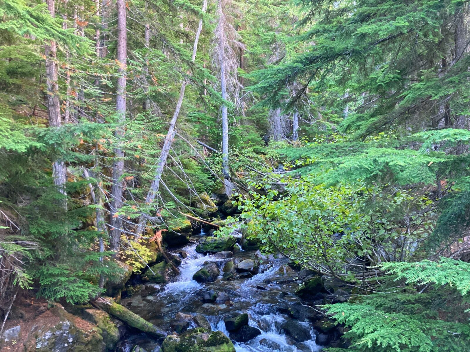
At the trailhead, make a quick stop to register before heading out. The first mile and a half goes fairly quickly, going very gently uphill (and occasionally downhill slightly) through the forest along Mountaineer Creek. When you reach a wooden sign showing “horse ford” to the right and “foot log” to the left, stay on the main trail left for the bridge over the creek.

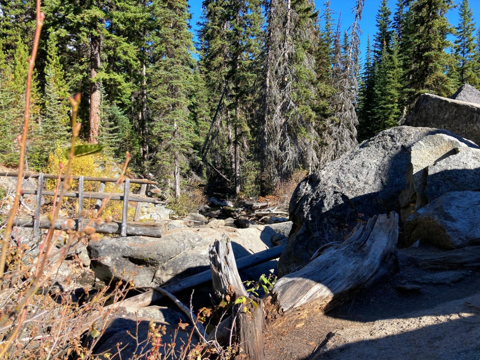
There are a couple of big steps up onto the rocks holding up the sturdy footbridge across Mountaineer Creek. This is a taste of what’s to come!
After crossing the bridge, the climbing, and the rocks, start. You’ll be continuing up the valley through the forest with lots of giant boulders left behind by ancient glaciers.

About a mile beyond the footbridge, and 2.5 miles from the trailhead, you’ll arrive at a well signed junction. A right here leads you to Lake Stuart, a separate and beautiful hike, but not yours! There is also a signed short spur trail to an outhouse. Here you will go left to follow the Colchuck Lake Trail.

You’ll quickly arrive at another log bridge and on the other side of the bridge the trail gets lost for a short distance. It looks like it ends in a jumble of rocks! Keep to the right and you’ll find the trail again in just a hundred feet or so, next to a calm section of the creek.

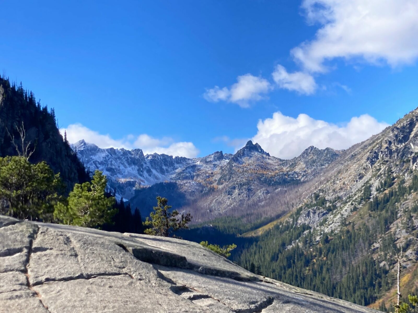
After a fairly short less steep section, the trail gets to it’s steepest and rockiest part yet for the last mile to the lake. A few places along this section give you a breather with (finally!) some beautiful views of nearby mountains.

A bit over four miles from the trailhead, just when you think the rocky climb is never going to end, you’ll finally glimpse your first preview of the glorious turquoise water of Colchuck Lake between the trees!

From here, keep going through the forest a short distance until you pop out onto a high massive slab of granite overlooking Colchuck Lake, the surrounding mountains and Colchuck Glacier. This is a great place to eat lunch and spend some time admiring this amazing place. You can also continue a bit further on as the trail wraps around one whole side of the lake before beginning the incredibly difficult climb up Aasgaard Pass to the Core Enchantments.

Make sure to look behind you as there are views of even more mountains and lots of interesting rock formations around Colchuck Lake.
Bakeries and Breweries near Colchuck Lake
The busy Bavarian themed town of Leavenworth has lots of options for finding food and drink after your hike and the town gets very crowded on weekends.
If bakeries are your thing, check out the Bavarian Bakery. More of a beer fan? Don’t miss Icicle Brewing Company. I also recommend the Munchen Haus for every imaginable kind of sausage and mustard. There is also a beer garden with German and Icicle Brewing on tap.
If you’re heading west over Highway 2 on Stevens Pass, stop in at the Sultan Bakery, which has amazing baked goods but also makes a good lunch or dinner stop.
Electric Vehicle Charging
The nearest EV charging is in Leavenworth, 13 miles away.


