Exploring the Kukutali Preserve in Skagit County
Last Updated on December 10, 2024
Kukutali Preserve is a unique and beautiful park near Mt Vernon, La Conner and Anacortes. A joint venture between Washington State Parks and the Swinomish Indian Tribal Community (the first of its kind in the United States), this beautiful park is a place to experience a beautiful beach and forest while learning about the Swinomish People who have lived on this land for thousands of years. The word “Kukutali” means “place of cattail mat” and was an important seasonal village and a hub of activity for food and making cattail mats that were used for sails as well as longhouses and other uses. Today, the Swinomish People are again able to use these beaches as they have for millennia.
There are a number of short hiking trails here with minimal elevation gain, as well as beautiful views, picnic tables and a wonderful beach to explore at low tide. Shellfish harvesting is not permitted here as it is reserved for tribal members. There are about two miles of hiking trails and you can gain and lose up to a couple hundred feet of elevation, depending on exactly where you go and how many times you go up and down from the beach.
Parking Pass: Washington State Discover Pass
Dog Friendly: No, dogs are not permitted anywhere in the Kukutali Preserve
Cell phone coverage: Good.
Restrooms: There is a pit toilet in the parking lot at the trailhead.
Accessibility and Mobility: The trail goes gently down to the water level and then climbs a bit on Kiket Island. The trail is not steep, but there is a bit of up and down. Some of the trail is wide and gravel or dirt, although there are some sections of loose gravel and rock on the beach. At high tide a portion of the trail will be underwater, so pay attention to what the tide is doing during your visit (link to tide chart is below).
Kukutali Preserve is open from 6:30am until sunset.
Related: Best hikes on Whidbey Island
Where is Kukutali Preserve?
The Kukutali Preserve is on the Swinomish Reservation about a 30 minute drive west of Mt Vernon and 20 minutes south of Anacortes near La Conner in Washington State.
To get there from Mt Vernon, head west on State Route 536 towards State Route 20. Continue west on Highway 20 and then left on Reservation Road, then right on Snee Oosh Road. After about a mile and a half, look for a sign on the right that says “Kukutali Preserve”. Turn right here into the small parking area (room for about 6 cars). It looks like you’re going into a driveway (and there are lots of driveways along the road) but if you see the sign, you’re in the right place. Once parked, you’ll see a gate across a gravel road/trail, and this is where you want to go.
Trail Description

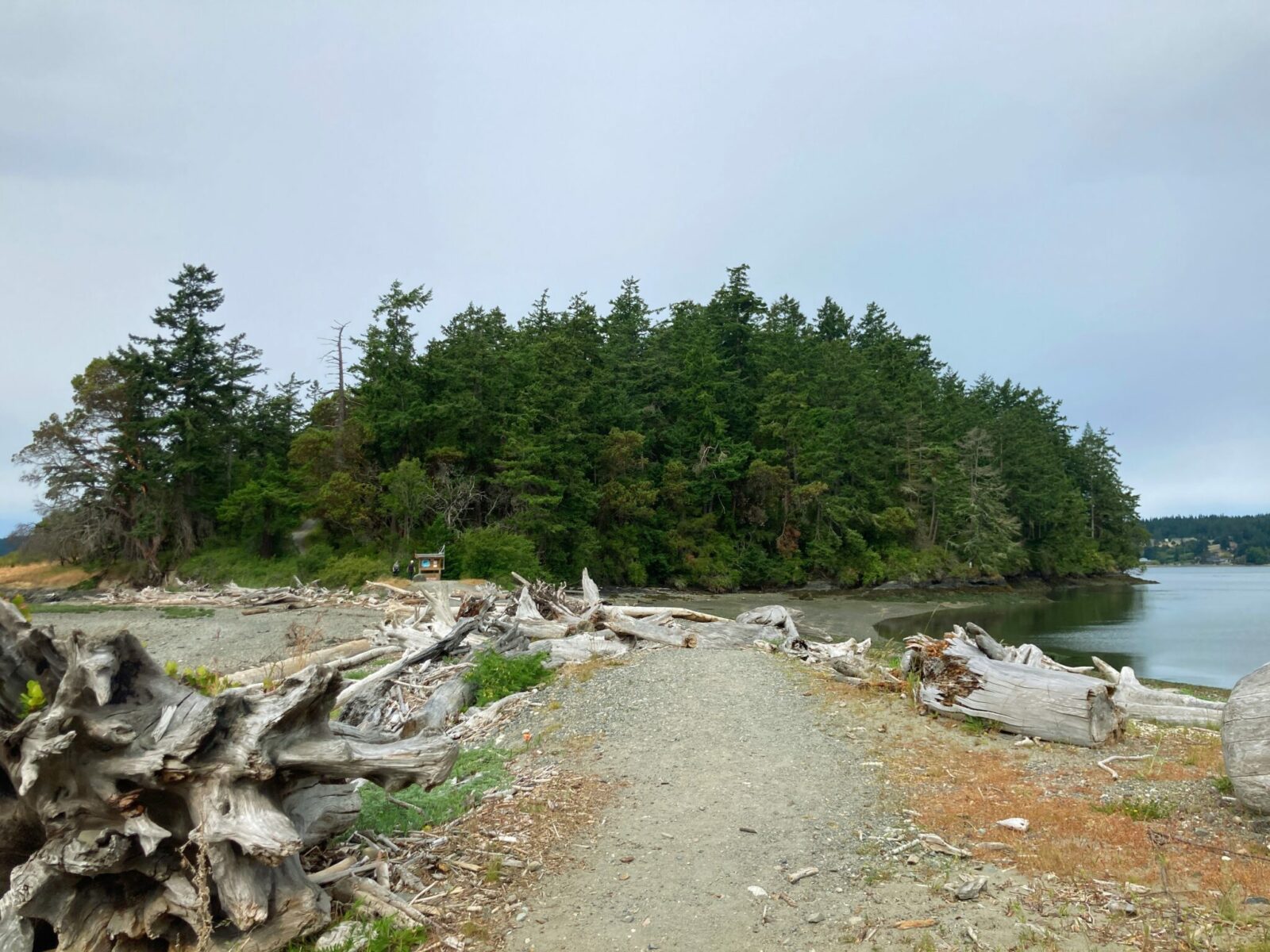
Starting down the gravel trail among the wild rose and blackberry bushes, you’ll soon come to a beach. Pay attention here, as high tides make the trail impassable. Check the tide chart and make sure you will not be stranded on the far side until the tide lowers allowing you to get back to your car! Keep your eyes open here above you as this is a place with a good chance of seeing an eagle, either in the trees or flying between them.
Across this strip of beach is Kiket Island, a forested island with three trails crossing it. On the main center trail which cuts over the middle of the island, you’ll be walking on a wide trail that climbs a bit and then goes down to the beach again.
As you start to go up the hill, you’ll come to a trail junction where you can continue straight on the center trail, or you can go left on the South Trail or right on the North Trail. The North and South trail are a bit narrower but there’s still plenty of room as the trails are well maintained.

I recommend going out on the Center trail and then returning on the South trail for a bit of variety and seeing more of the beautiful forest.
Whichever way you go, the trails meet up again shortly before dropping down to the beach on the other side of Kiket Island. Here you will be at a beach again with wonderful views of the water and other islands.
At the end of this beach there is a sign and a barrier asking you to not go further out onto the land, please do not cross this barrier and respect the work being done to restore Flagstaff Island.
You’ll see plenty of beach, islands and forest with the open part of the park!

Beachwalking and Picnics
This is a wonderful beach to explore at low tide. Take care not to remove or damage any shellfish as this is tribal land and this is allowed only for tribal members with a permit.
There is a wonderful day use area just under a mile from the parking lot with a pit toilet, covered picnic area and several additional picnic tables. There is another area of beach access here, where you can see up towards Deception Pass and the Deception Pass bridge. They day use area also has an open meadow around the picnic tables.


